I went on a bus tour of the Atlanta Beltline today with my friend Linda and another pal of hers. Our tour guide was an architect and a volunteer with the Atlanta Preservation Center. This project began after I’d left Atlanta in 1997 to work in San Francisco, so it was completely new to me. Since I’m contemplating entering a proposal for public art for the project before the end of this month, it was a timely tour.

Photo courtesy Christopher T Martin. Wonderful shots of the beltline on the site.
Some history: In 1999 GA Tech grad student Ryan Gravel came up with an idea for a transit beltline to circle the city, in order to cut down on traffic gridlock and to link neighborhoods together. He pressured city officials for several years, building grassroots support from the neighborhoods.
By 2005, a study had been done to determine the financial feasibility of the project. The results showed that creating a Tax Allocation District (TAD) could provide primary funding without increasing taxes. Atlanta Mayor Shirley Franklin created the Beltline Partnership and the Trust for Public Land began purchasing land that would be the core of the future Beltline Parks, all 1300 acres of them.
Other key elements will be a streetcar light rail system that runs through existing communities, a 22 mile loop of transit that can be accessed by 33 miles of walking or bike trails. Affordable housing within the Beltline Tax Allocation District is being promoted with a trust fund; up to $50k of downpayment assistance may be available to eligible buyers. The 138 acre  Bellwood Quarry was acquired in 2006, which will become a water reservoir along with one of the largest parks in Atlanta.

But the best part of the project is in linking city neighborhoods and having the opportunity to walk or bike along the trails without encountering gridlocked vehicular traffic. Traffic that will increase with the projected population growth of over 100,000 more people moving to the city by 2030.
Here are some shots I got today from the bus window. Some are neighborhood photos of interest, others are of the beltline and old railroad lines.


City Hall East used to be the old Sears Building, the largest business headquarters in the country. Built in 1925 with 2 million square feet of space, 45 acres of floor. We can thank former Mayor Maynard Jackson for having the vision to pay just $12 million for it in 1991. Future plans are for multi-use, with lofts, restaurants and office space.


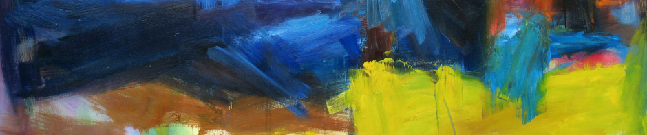
One of the public art murals on the tour.


Historic house on Monroe Drive in the Morningside neighborhood.

The Bellwood Quarry, future home of Atlanta’s reservoir and new park.


Atlanta’s Historic Fourth Ward got its own 15,000 square foot state of the art skateboard park, including 17 new acres of greenspace, with funding from the Tony Hawk Foundation. videos and photos here.

Photo courtesy Christopher T Martin.
The Fourth Ward park is just beautiful, but I didn’t get any good shots from the bus. This one’s courtesy Creative Loafing and Angel Poventud.

